



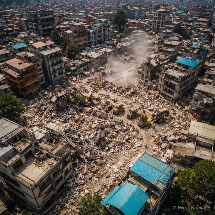
High-resolution satellite imagery has unveiled the catastrophic scale of destruction wrought by recent torrential floods and landslides across the Himalayan regions bordering Nepal and the Tibet Autonomous Region of China. The images provide a stark, orbital perspective on the widespread obliteration of vital infrastructure, human settlements, and agricultural lands following an intense period of monsoon rainfall in late summer.
Background: A Region Under Pressure
The Himalayan foothills are inherently susceptible to natural disasters, particularly during the annual monsoon season, which typically runs from June to September. This year, however, the intensity and duration of rainfall have been exceptional, leading to swollen rivers, flash floods, and massive landslides. Experts point to a confluence of factors exacerbating the crisis, including increasingly erratic weather patterns linked to climate change, accelerated glacial melt contributing to glacial lake outburst floods (GLOFs), and ongoing seismic activity that destabilizes mountain slopes.
Historically, communities in these valleys have adapted to the monsoon's rhythms, but recent years have seen a marked increase in the frequency and severity of extreme weather events. Early reports from local authorities in late August and early September indicated significant damage, with communications severed to numerous remote villages. These initial ground assessments, often hampered by inaccessible terrain, underscored the urgent need for a broader, comprehensive overview—a role perfectly filled by advanced satellite observation. The region, a crucial economic corridor and home to millions, has been bracing for such an event, yet the sheer magnitude of the current disaster has surpassed many preparedness efforts.
Key Developments: Destruction from Above
The detailed analysis of satellite data, captured by various international Earth observation platforms over the past two weeks, paints a grim picture. Imagery reveals entire sections of major roadways, including the vital Arniko Highway connecting Nepal with Tibet, have been completely washed away or buried under tons of debris. Numerous bridges, critical for local connectivity and cross-border trade, are visibly collapsed or severely damaged, isolating vast swathes of land.
In Nepal, districts such as Sindhupalchok and Manang appear particularly hard-hit, with satellite maps showing significant changes to river courses, indicating massive erosion and sediment deposition. Villages that once dotted riverbanks are now either submerged under newly formed lakes or completely obliterated by landslides, leaving behind scarred landscapes of mud and rock. Hydropower projects, crucial for both nations' energy grids, show extensive damage to dams, powerhouses, and transmission lines, with large sections of their infrastructure either destroyed or rendered inoperable.
More Read

Across the border in the Tibet Autonomous Region, particularly in areas like Nyalam County and around the Zhangmu/Khasa border crossing, the satellite images confirm similar levels of devastation. Settlements and infrastructure along the Friendship Highway have sustained heavy damage, mirroring the destruction seen on the Nepalese side. The dramatic alteration of the landscape, evident from space, underscores the challenge facing rescue and recovery efforts, which must navigate a terrain fundamentally reshaped by the floods. The imagery serves as irrefutable evidence, confirming initial anecdotal reports and providing a precise geographical understanding of the catastrophe's extent.
Impact: Lives and Livelihoods Shattered
The human cost of these floods is immense. Thousands have been displaced, losing homes, agricultural land, and livestock. Many are now living in temporary shelters, dependent on emergency aid. The destruction of roads and bridges has severely hampered humanitarian efforts, leaving numerous communities cut off from essential supplies, medical assistance, and communication channels. The psychological toll on survivors, many of whom have witnessed unprecedented destruction and loss, is profound.
Economically, the impact is devastating. Agriculture, the primary livelihood for a significant portion of the population, has suffered immense losses with fields submerged or buried under debris. The destruction of hydropower plants will lead to significant energy shortages and economic setbacks, requiring years and billions of dollars to rebuild. Cross-border trade, a vital economic artery between Nepal and China, has come to a grinding halt, affecting countless businesses and supply chains. The long-term implications for regional development and poverty reduction are severe, threatening to reverse years of progress in some of the most vulnerable communities.
More Read

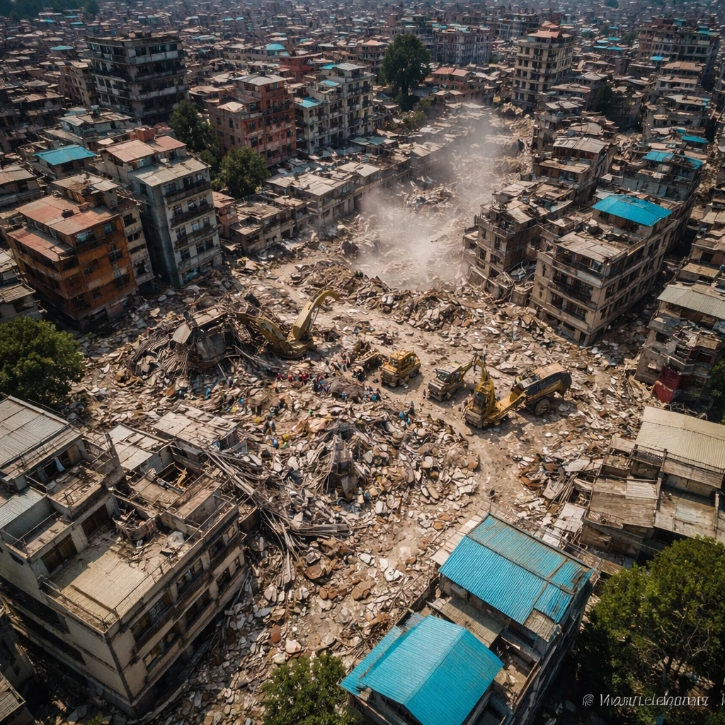
Furthermore, the environmental impact is considerable. Beyond the immediate physical destruction, altered river ecosystems, increased sediment load, and habitat destruction will have lasting consequences for the region's biodiversity. The interplay of extreme weather and fragile mountain environments highlights the urgent need for sustainable land management practices and robust disaster risk reduction strategies.
What Next: A Long Road to Recovery
In the immediate aftermath, search and rescue operations remain paramount, with local authorities and international aid organizations striving to reach isolated communities. The provision of emergency shelter, food, clean water, and medical supplies is a critical priority. Satellite imagery continues to play a crucial role in guiding these efforts, identifying safe access routes and mapping areas of greatest need.
Looking ahead, the recovery process will be protracted and complex. Rebuilding critical infrastructure, including roads, bridges, and hydropower facilities, will require substantial investment and international cooperation. Relocation efforts for communities in high-risk areas will also be necessary, alongside comprehensive rehabilitation programs for affected populations. Both Nepal and China will need to collaborate closely on cross-border recovery efforts and enhance their joint disaster preparedness mechanisms.
The floods serve as a stark reminder of the increasing vulnerability of Himalayan communities to climate change. There is an urgent call for strengthened early warning systems, climate-resilient infrastructure development, and sustainable environmental management practices to mitigate the impact of future extreme weather events. The international community's sustained support will be vital as the region embarks on the arduous journey of rebuilding and recovery, ensuring that the lessons learned from this catastrophe inform future strategies for resilience in the face of a changing climate.