


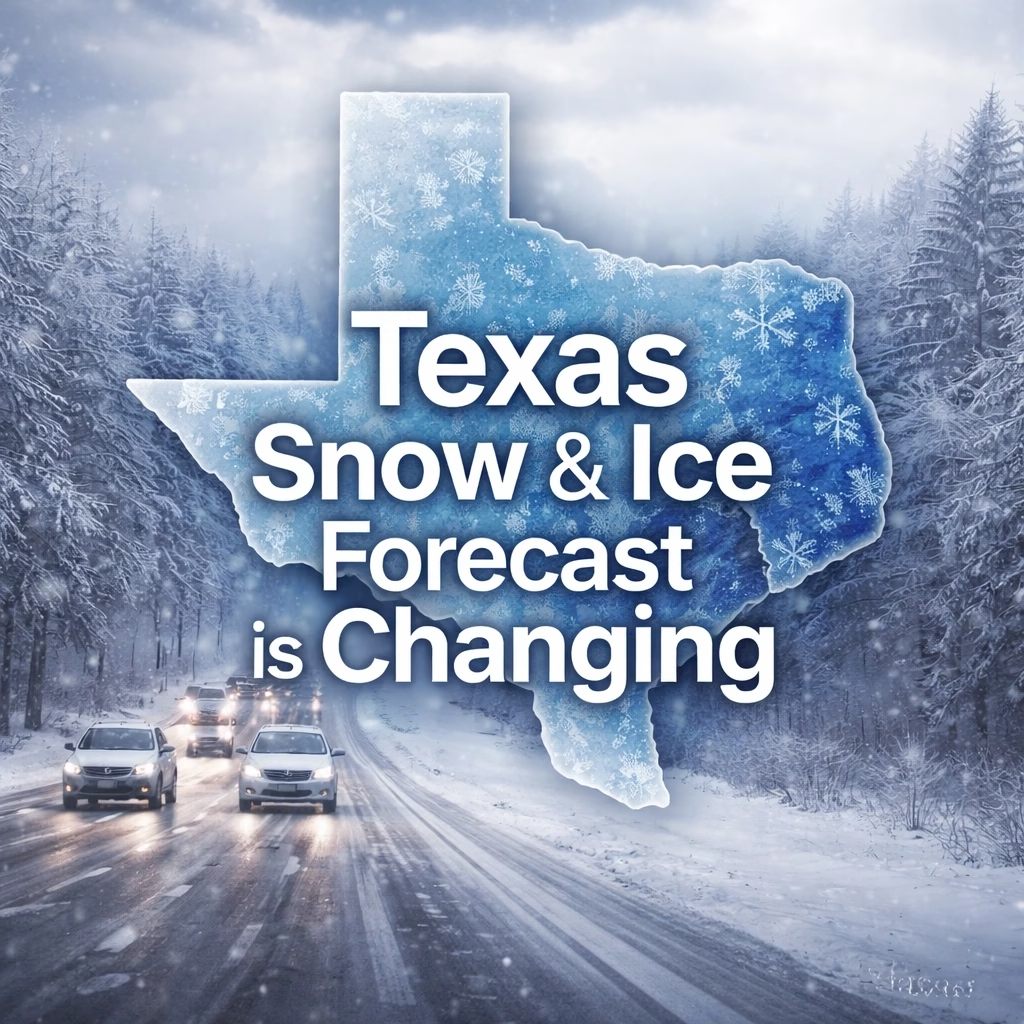
Texas residents are experiencing a weather forecast shift as the anticipated winter storm weakens and conditions become less severe than previously predicted. The state, which had been bracing for potentially significant snowfall and icy conditions, now faces a more nuanced outlook, with the possibility of lingering cold snaps and localized precipitation. Forecasters are closely monitoring the evolving weather patterns, adjusting expectations for the coming days.
The threat of a major winter storm impacting Texas began to emerge late last week, with forecasts predicting significant snowfall in parts of the state. Initial models suggested potential accumulations of several inches in regions like the Panhandle and South Texas, leading to concerns about power outages, transportation disruptions, and potential flooding. This development prompted state and local authorities to prepare emergency response plans and issue warnings to residents.
The forecast shifted dramatically over the past few days. Early projections, largely based on atmospheric river models, pointed to a strong, organized weather system bringing widespread snow. However, more recent analysis, incorporating data from the National Weather Service (NWS) and the Climate Prediction Center (CPC), indicates a less intense system. This change in outlook has led to a reevaluation of potential impacts and a call for continued preparedness, albeit with a lessened sense of urgency compared to earlier projections. The initial forecasts were primarily focused on the northern and central portions of the state.
The primary shift in the forecast revolves around the expected intensity and duration of the precipitation. While some snow is still possible, particularly in the higher elevations of the Texas Panhandle and North Texas, the predicted snowfall amounts are significantly lower than initially anticipated.
More Read

Specifically, the NWS has revised its forecast for the Panhandle, projecting accumulations ranging from 1 to 3 inches of snow, with the highest amounts near the border with Oklahoma. North Texas is expected to see mainly freezing rain and sleet, potentially creating hazardous road conditions. South Texas, which had been facing the highest risk of snowfall, is now expected to experience mostly rain, with temperatures remaining near freezing.
The timing of the precipitation is also evolving. The forecast now indicates that the heaviest precipitation will likely occur late tonight and into tomorrow morning, with a gradual decrease in intensity throughout the day. This shift in timing allows residents to prepare for potential impacts but also reduces the duration of the weather event. Furthermore, the system is expected to move eastward, lessening the impact on the central Plains regions.
While the threat of a major winter storm has diminished, the potential impacts of the evolving weather pattern remain. Freezing rain and sleet in North Texas could lead to hazardous driving conditions, with black ice posing a significant risk to motorists. Roads could become slick, and visibility could be reduced, requiring drivers to exercise extreme caution.
More Read

The potential for localized flooding is also a concern, particularly in areas with poor drainage. Heavy rainfall, even if not accompanied by significant snow, can overwhelm drainage systems and lead to flash flooding.
Even with a less severe storm, power outages are possible. The National Grid has issued alerts for potential outages in certain areas, urging residents to take steps to protect themselves from power disruptions. This includes ensuring emergency supplies are readily available and having a plan in place for staying warm and safe if the power goes out.
Forecasters will continue to closely monitor the weather system as it moves across the state. The NWS and CPC will provide updated forecasts and warnings as conditions change. Residents are urged to stay informed by regularly checking the NWS website ([https://www.weather.gov/](https://www.weather.gov/)) and local news reports.
Here's what to watch for in the coming days:
* Continued monitoring of the precipitation type: The transition from snow to rain and freezing rain will continue to influence road conditions.
* Temperature fluctuations: Temperatures are expected to remain near freezing, increasing the likelihood of icy conditions.
* Potential for localized flooding: Residents should be prepared for potential flash flooding, especially in low-lying areas.
* Ongoing alerts from the National Grid: Stay informed about potential power outages in your area.
Authorities are encouraging residents to prepare for potential disruptions by stocking up on essential supplies, securing outdoor items, and having a plan in place for staying safe during the storm. The situation is fluid, and further updates will be provided as the weather evolves.

* Wind Chill: Even with temperatures remaining near freezing, wind chill could create dangerous conditions, particularly for vulnerable populations such as the elderly and those with pre-existing health conditions.
* Travel Advisories: Local authorities may issue travel advisories, urging residents to avoid unnecessary travel during the storm.
* Emergency Preparedness: Residents are encouraged to have a family emergency plan and a supply kit ready in case of power outages or other disruptions.


